 |
| The lovely brick road was made by Abnor Mole. |
This is one of my favorite roads, although it is relatively short. There are vehicle rez spots along the way, but it is easier to stop and read the Map Kiosks if your vehicle is something like a wearable bike. There are also frequent Pods going by on the southern end, and they stop at the map kiosks to give you time to read the "Hysterical Markers".
 |
| Map from the Second Life Wiki |
Route 14 starts near Sandy Trunks Beach and passes by Seven Chickens Bridge, and Dead Mole's Curve before it reaches the End of the Line Inn.
 |
| View of road and map kiosk |
Sandy Trunks Beach (1)
Seven Chickens Bridge (2)
 |
| Route 14 Map Kiosk |
Dead Mole's Curve (3)
End Of The Line Inn (4)
See if you can find where the Innkeeper kept his booze. There may be hidden treasure there!
Along the way there are interesting things to look at like this cheeky duck statue.
 |
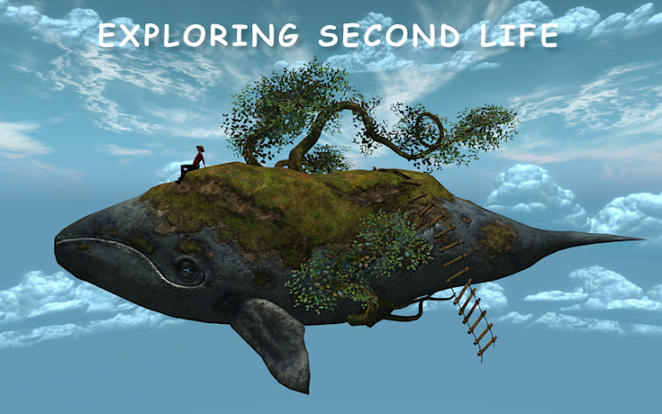
| I estimate this to be about 100m tall |
Towards the southern end the neighborhood goes downhill fast and I almost cried when I saw what was beyond the End of the Line Inn - it had to qualify as one of the ugliest parts of the Mainland: ads on 16m roadside parcels, particles flying everywhere, 'landscape' walls, and hovering ugly domes...so sad.
Route 14 used to be an isolated road and not part of the Nautilus road system, but there is now an "Angels Expressway" connecting it with Route 13.


No comments:
Post a Comment